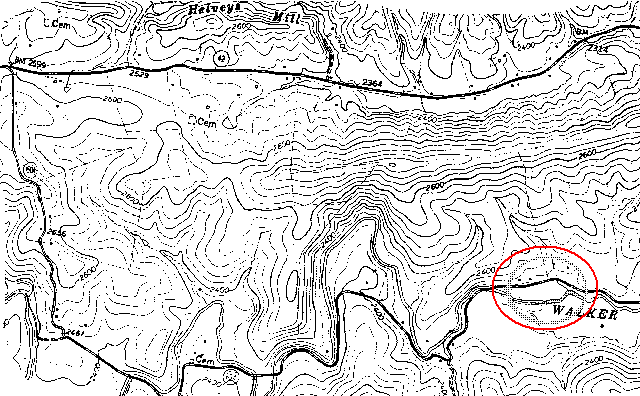
Figure 3a: Point Pleasant area (western half). Possible location of Andrew's original 100 acre purchase circled in lower right. (Map courtesy of United States Geological Service).